The Lowers Difference
- Recognized insurance services solutions partner
- Decades of risk management and risk mitigation expertise
- FAA compliant and LPRC contributor
- Advanced UAV technology, camera, and 3D data modeling
We simplify the collection, analysis, and distribution of drone data for insurance professionals and business owners around the world to help better manage risk.
We provide brokers, underwriters, engineers, adjusters, and business owners the ability to manage their drone program at every stage, in real time.

Managing risk is essential to growth, and a custom drone program gives your business the confidence to make sound decisions with the security to scale.

From the start, we combine best-in-class pilot services, data visualization, and risk mitigation to build a drone program that meets your unique needs.

We build programs that enable your team to deploy the right tools and talent for the job, including 3D mapping and LiDAR for inspections, surveys, and more.

Custom programs should be both efficient and profitable, providing insurance professionals and business owners cost-effective options and real results.
Leading-edge technologies allow us to schedule, capture, process, and deliver images rapidly. Output options include orthomosaics, Digital Surface Models (DSM), Digital Elevation Models (DEM), and Point Clouds.
Pro-Tip: During a CAT event, our platform enables your team to capture immense amounts of data very quickly, allowing you to respond faster and safer.
All data is then delivered via secure web portal, with no software or special skills required to access it. The data remains accessible indefinitely.
Pro-Tip: Whether pre- or post-loss, your custom dashboard provides instant access to review detailed datasets, reducing wait-time.
Processed orthomosaic images can be overlaid where the claim is situated - with additional markers for 360° images or videos - for placement on additional layers.
Pro-Tip: Layering gives depth to each image, creating benchmarks for adjusters managing claims and underwriters reviewing assessments.
Measurements can be taken in 2D space on orthomosaic image layers, as well as in 3D space using Point Clouds.
Pro-Tip: The LDS platform provides your clients this option at no charge, regardless of the level of detail required.
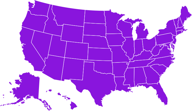
With over 10,000+ pilots covering all of North America (including Alaska, Hawaii, and the Caribbean), we can be wherever you are, whenever you need us.
For over 40 years, Lowers Risk Group has provided insurance professionals a single point of contact for managing complex pre- and post-loss challenges. As a global risk mitigation, consulting, and technology company, LRG launched its drone program to uniquely support its client’s risk mitigation goals and elevate their insurance programs using modern UAV systems.
Lowers Drone Solutions simplifies the collection, analysis, and distribution of drone data for insurance professionals and business owners around the world. Combining a global pilot network, custom dashboard, and collaborative process, we provide clients with complete data accessibility and transparency. By accelerating data analysis and informed decision-making, we help insurance professionals and business owners reach their safety and compliance goals faster and at a lower cost.
We believe successful drone programs catalyze growth. From inspections and asset protection to loss adjusting and recovery, if you’re ready to fly, contact us today and let’s get started.
Lower operating costs and shorten inspection timelines by using drone (UAV) technology for roof inspections and insurance claim needs, at scale. Using professional drone pilots to capture aerial imagery provides irrefutable evidence to support a claim or underwriting inspection.
Get the high quality image data you need. With our larger drones we can lift sophisticated cameras along with other sensor technology to capture highly detailed aerial images of locations that are costly or dangerous to access. We can also cover large areas very quickly, meaning you could survey hundreds of acres of land in a fraction of the time it would take using traditional methods.
Using drones to gather aerial images for the processing of 3D maps and orthomosaics is a highly valuable tool. We can provide computer-aided design (CAD) ready, 3D models for use with other modelling projects, or offer time-lapse photography and video to showcase project development over longer periods of time.
Operating drones equipped with special laser scanners, we measure the light’s reflection and range from the earth’s surface across millions of beams, then combine that data with GPS and inertial measurement unit (IMU) data to create a fully corrected Point Cloud which can be used to re-create 3D models.

Complete the form below to have one of our drone professionals reach out to talk about pricing and your goals.
© 2024 All Rights Reserved Worldwide
Privacy Policy
Lowers Drone Solutions provides technology solutions and services for aerial data acquisition. Lowers Drone Solutions is not a state-licensed professional engineering or land surveying firm, and its employees are not state-licensed professional engineers or land surveyors. All content on this website including text, graphics, images, and other material is intended for general information only. This content is not applicable to any specific context or condition. It is not a substitute for state-licensed professional engineering or land surveying services, or an offer to provide such services.